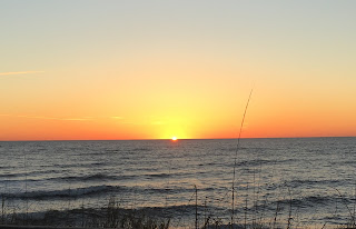
The sky remained cloudless all day, and we stayed home all afternoon; although I applied sunblock liberally, I absorbed far more sun than was good for me. So today we decided to take the day off and drive to Manteo and to Hatteras, even though it was yet another beautiful day. We usually seem to end up in Manteo on cloudy or blustery days, for some reason.
As we passed Whalebone Junction and headed west across the Washington Baum Bridge, Martha pointed out two nesting ospreys out in the sound.
This road is very familiar to us from running the OBX Marathon and Half Marathon, which takes place in November and features the second half of the Flying Pirate course, crossing the tall bridge at Mile 20 (Heartbreak Hill in its own way) and finishing in Manteo.
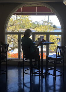
We love wondering around Manteo, and Martha even found one of her favorite shops open, "My Secret Garden." We had lunch at Avenue Grill, which has somehow never been on our radar before. It was delicious, and we enjoyed the view across Shallowbag Bay to Roanoke Island Festival Park and Elizabeth II, a replica of one of the merchant vessels from the Roanoke Voyage of 1585. It always amazes me that men and women were courageous enough to cross the Atlantic Ocean on such a small ship!
We returned to Whalebone Junction and then headed south on Highway 12 to Hatteras, across the newly-completed Oregon Inlet bridge, to the Bodie Island Light Station. Both the Bodie Island and Hatteras lighthouses were not yet open to the public, though, so we weren't able to climb them.
Farther south, we stopped at the Chicamacomico Lifesaving Station, a frequent destination for us. The building, shingled in the Nags Head style, is a beautiful one which I never fail to photograph.
The tiny gift shop inside carries Lifesaving Station-type gifts, but also, unusually, a kind a black tea called "Lifeboat Tea" imported from England, that we cannot obtain anywhere else.
From there we continued south on the long, straight, two-lane Highway 12, the Atlantic Ocean visible from time to time on our left on the other side of a stretch of tall sand dunes, which seemed to want to take over the road, and Croatan Sound on our right. Finally we reached the famous Cape Hatteras Lighthouse, which was moved to its current site in an amazing feat of engineering in 1999.
The old site is still there, the Atlantic Ocean steadily encroaching on its base, and the path where they moved the 193-foot structure on steel rails 2900 feet.
Martha saw these "Pirate Rules" in the museum, which we found amusing. No mention is made, however, of what to do in the event of spotting a Flying Pirate.
Across the street, a large group was parasailing in the Atlantic Ocean; the breeze was a continuous one so conditions were perfect, although they were all wearing wet-suits.
Finally, we started back north on Highway 12 to return to Duck after our long trip. Just north of Hatteras this strange, slightly scary house stands along the road.
Perhaps it is a Flying Pirate!


No comments:
Post a Comment